Waterfowl Alert Network
Welcome to the Waterfowl Alert Network, the world's first daily waterfowl prediction tool for animal agriculture and various other applications including golf courses, airports and solar and wind farms. The tool makes daily predictions of waterfowl abundance and/or occupancy at high spatial granularity. The tool is a subscription service with a per farm subscription fee. If you are interested in learning more about the Waterfowl Alert Network please reach out to info@agrinerds.com
Sincerely,
The AgriNerds

Waterfowl Alert Network
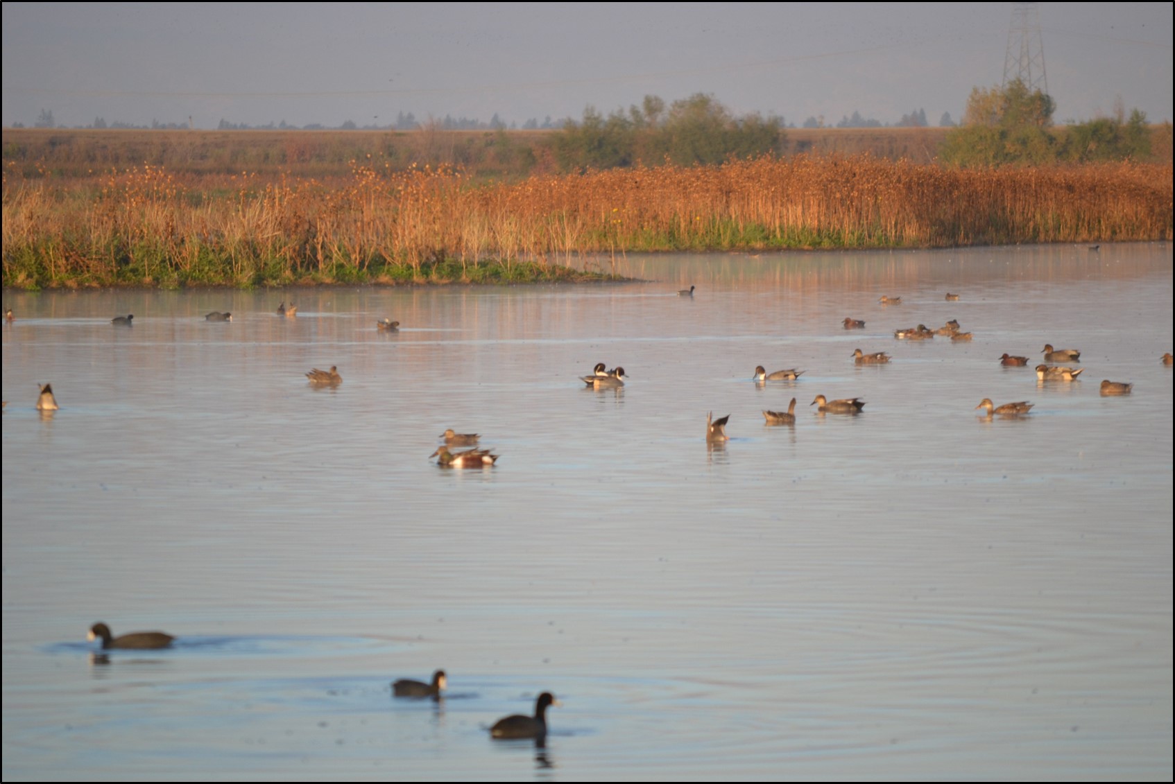
Tracking Waterfowl to Protect your Poultry

Turning radar detections of waterfowl into daily risk models of waterfowl roosting
Waterfowl Alert Network
- Daily roosting models from November to end of March
- Models track presence/absence of waterfowl & density
- Daily and seasonal waterfowl ranking for farms
- High resolution (up to 250m granularity).
- Farm location integrated into maps
- Historical analysis back to 1995
- Alerts for farms within counties of HPAI detections